-
- Up to 22% off
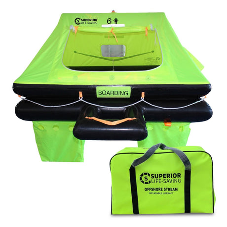
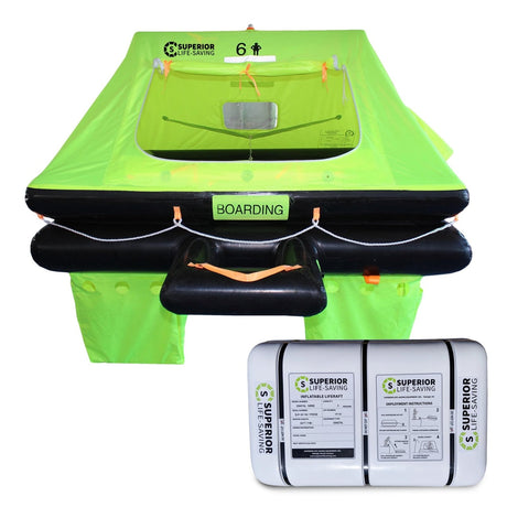
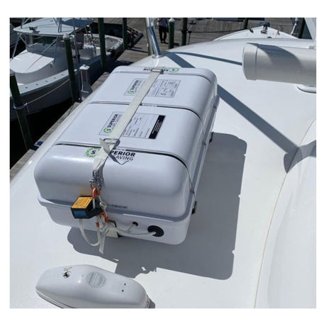
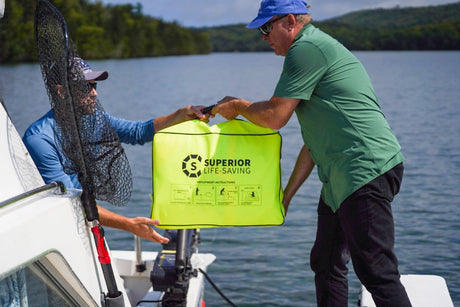
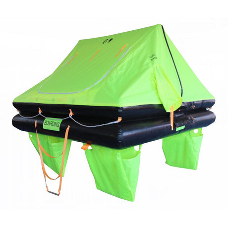
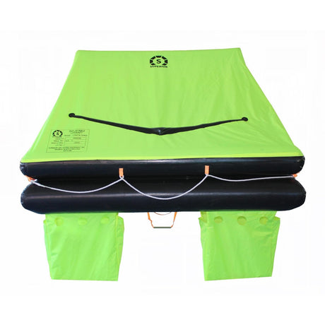
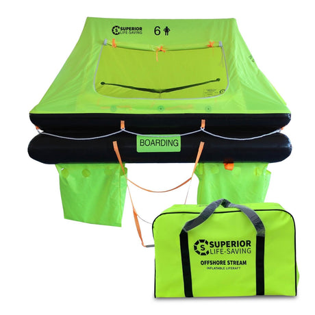
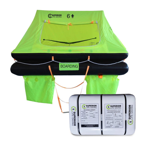
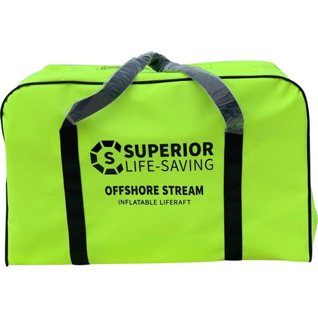
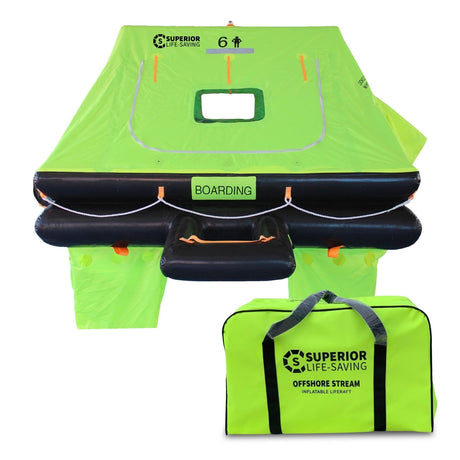
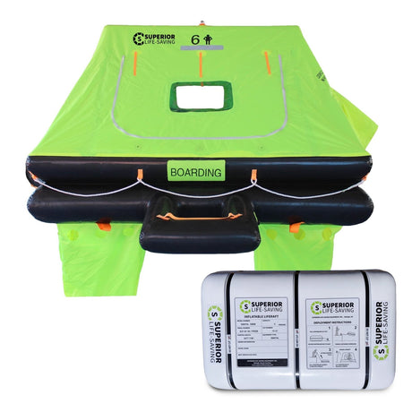
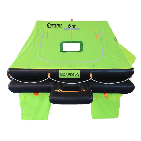
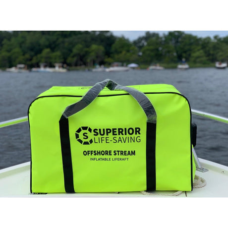
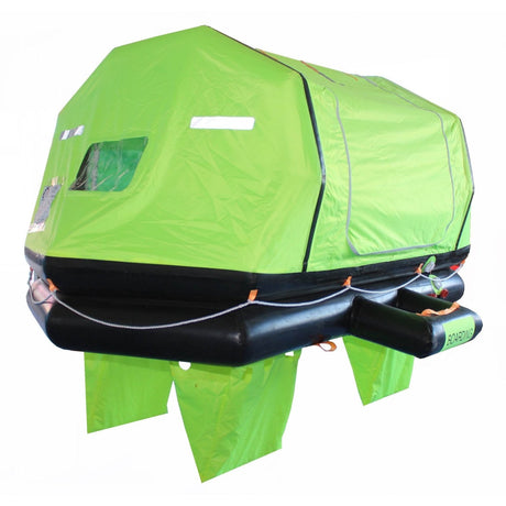
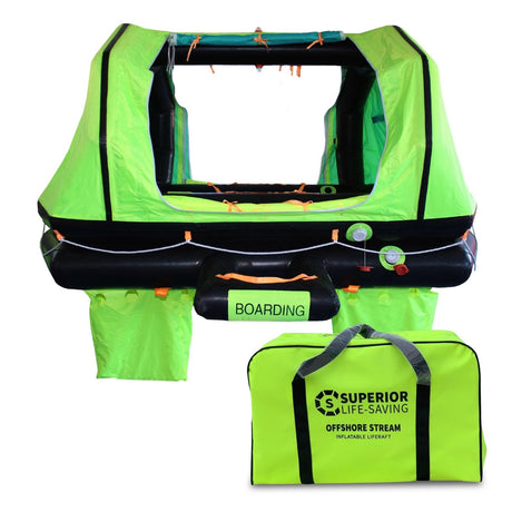
Superior Life-Saving Equipment
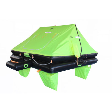
Superior Offshore Stream Life Raft, 4 - 8 person
From $1,563.99$1,995.00Unit price /Unavailable -
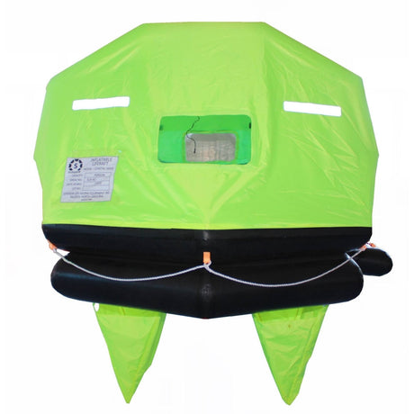
- Up to 25% off
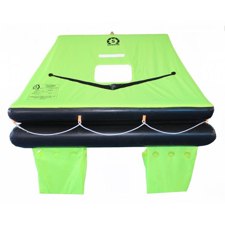
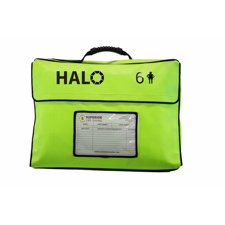
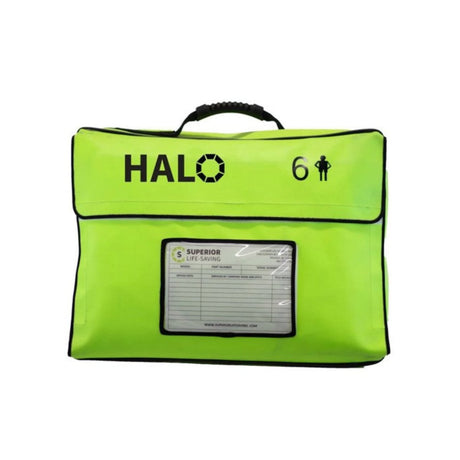
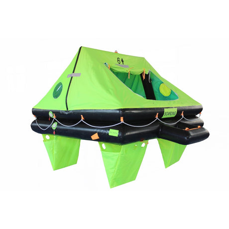
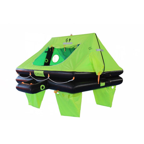
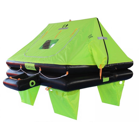
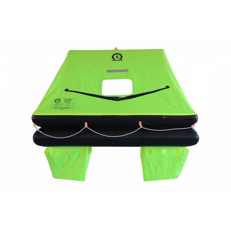
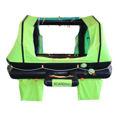
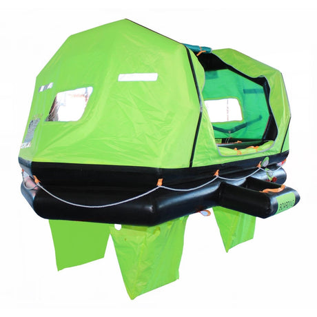
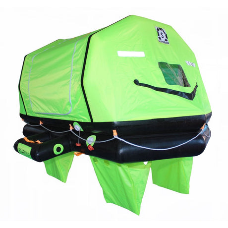
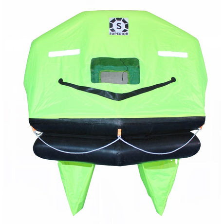
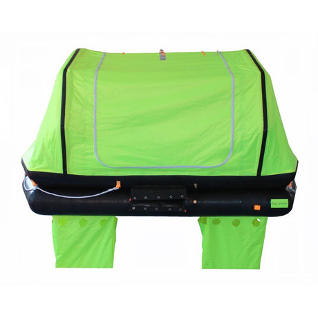
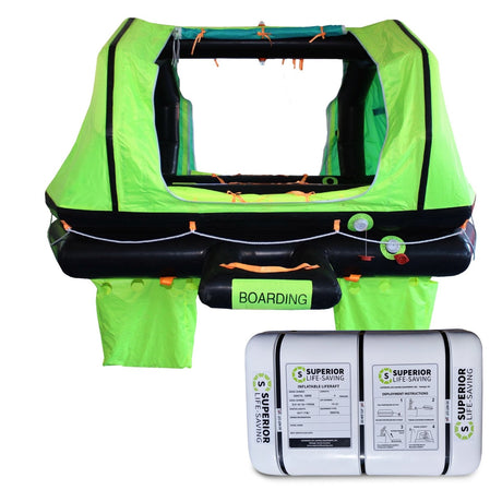
Superior Life-Saving Equipment
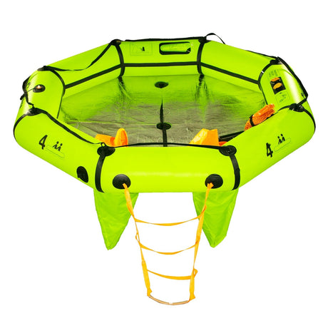
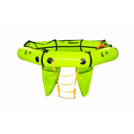
Superior HALO Compact Life Raft, 2-8 Person
From $1,229.00$1,549.00Unit price /UnavailableIn stock (32 units) -
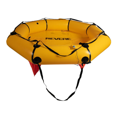
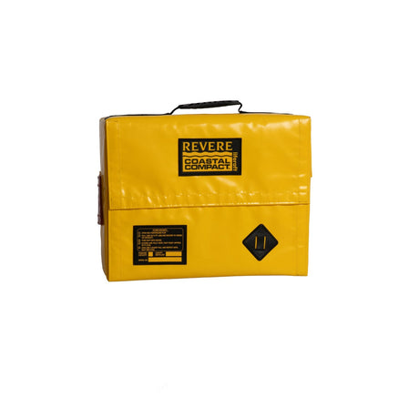
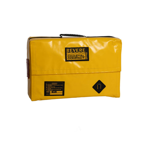
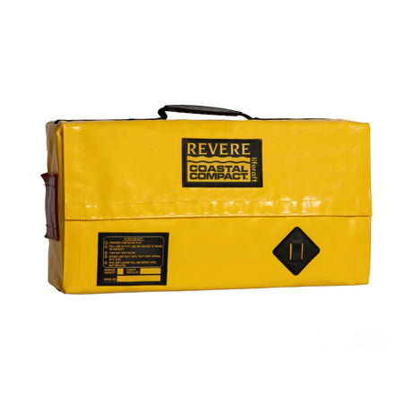
- Up to 10% off
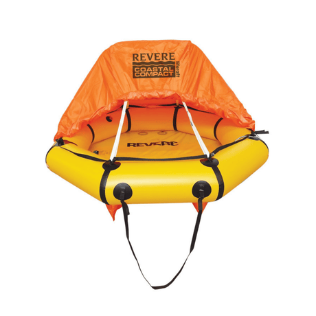
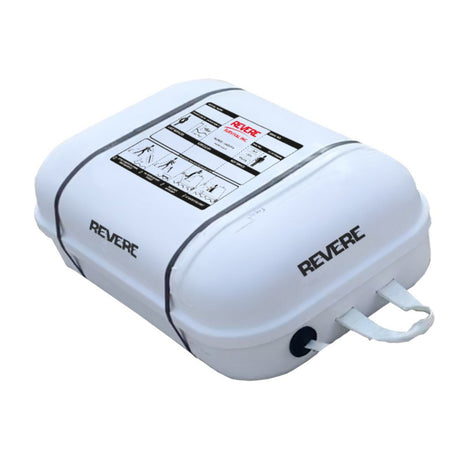
Revere
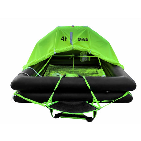
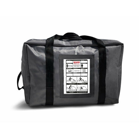
Revere Coastal Compact Life Raft, 2-6 Person, Valise Bag
From $1,428.99$1,535.00Unit price /Unavailable -
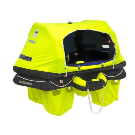
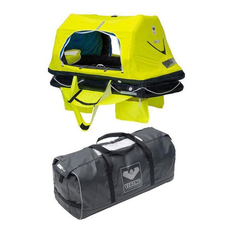
- Up to 21% off
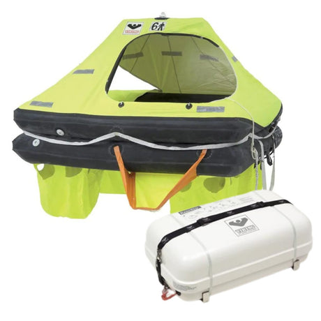
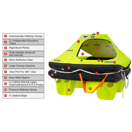
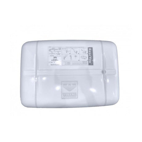
VIKING
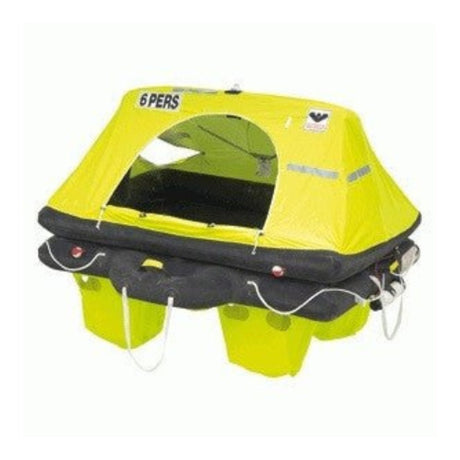
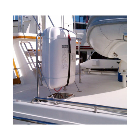
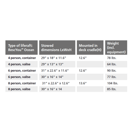
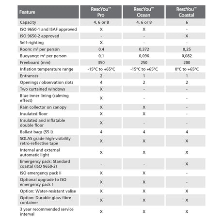
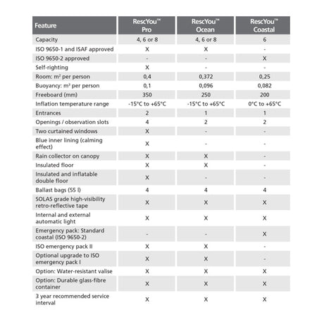
Viking RescYou™ (Ocean) Offshore Life Raft , 4-8 Person
From $2,950.00$3,150.00Unit price /Unavailable -
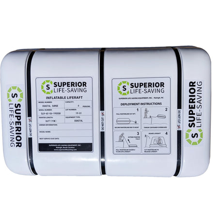
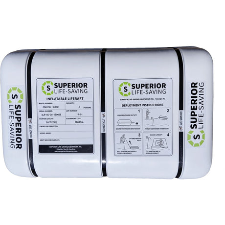
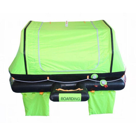
- Up to 27% off
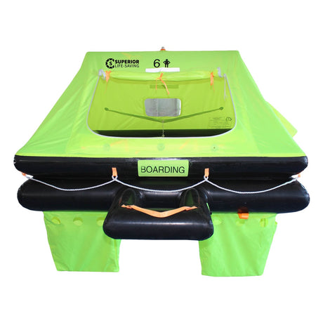
Superior Life-Saving Equipment
Superior Coastal Surge Life Raft - 6 Person
From $1,392.99$1,620.00Unit price /UnavailableIn stock (46 units) -
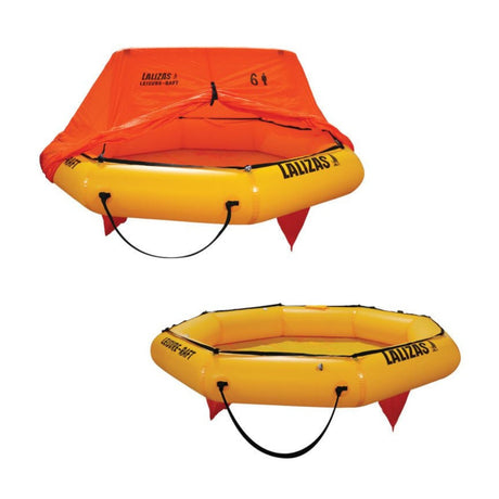
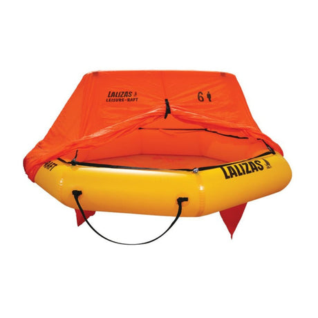
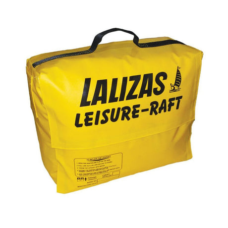
- Up to 19% off
Lalizas
LALIZAS Leisure Life Raft, 4-6 Person
From $1,295.00$1,600.00Unit price /UnavailableLow stock (12 units) -
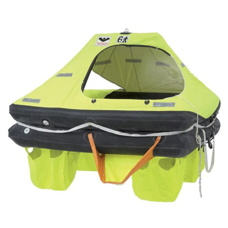
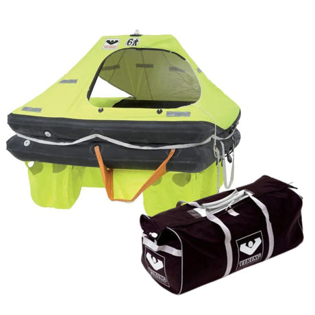
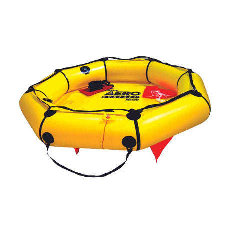
- Up to 35% off
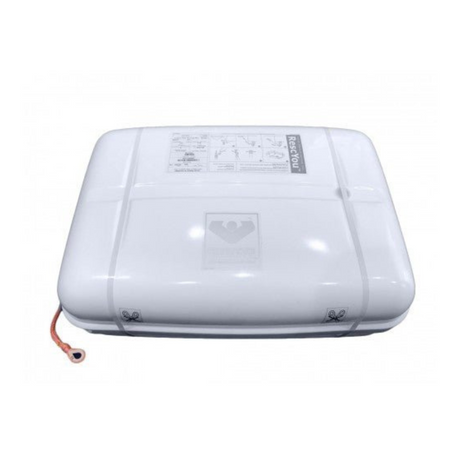
VIKING
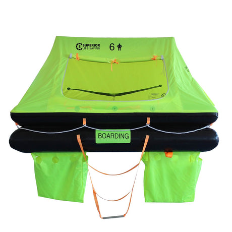
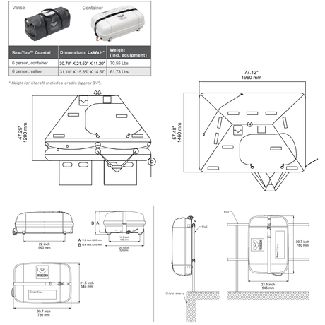
Viking RescYou™ Coastal Life Raft, 6 Person
From $1,699.95$2,599.00Unit price /Unavailable -
-
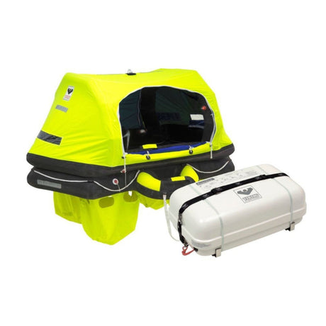
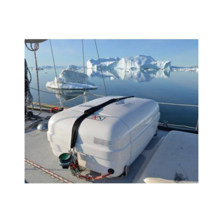
- Up to 8% off
VIKING
Viking RescYou™ (Ocean) Offshore Pro Life Raft, 4-8 person
From $4,010.00$4,200.00Unit price /Unavailable -
- Up to 13% off
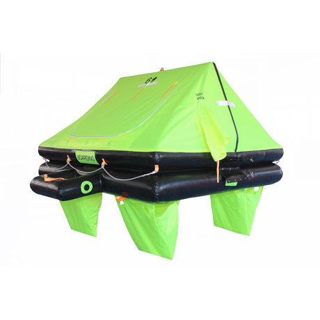
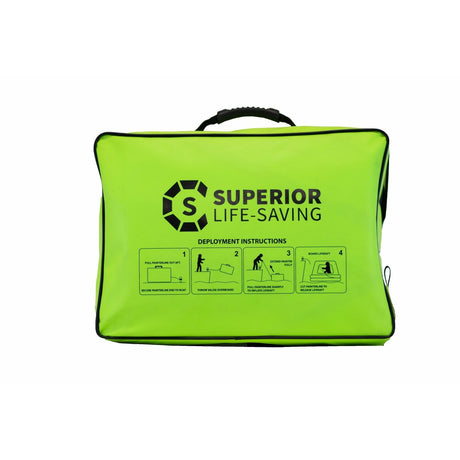
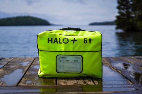
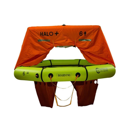
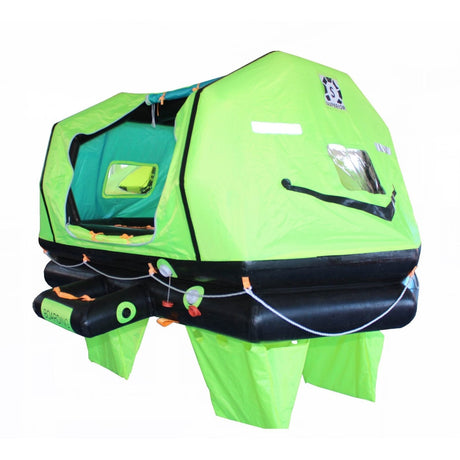
Superior Life-Saving Equipment
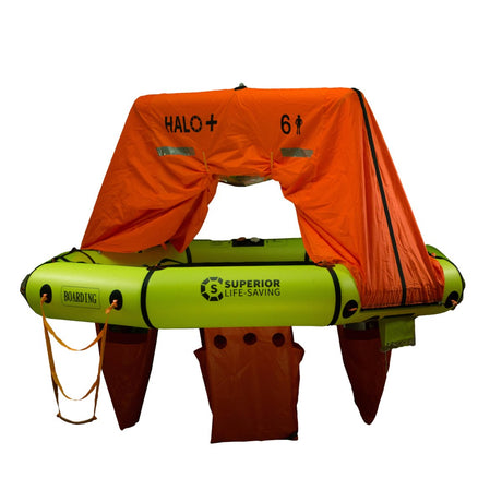
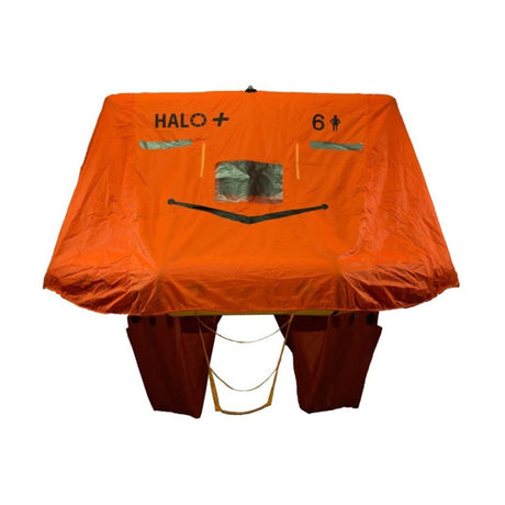
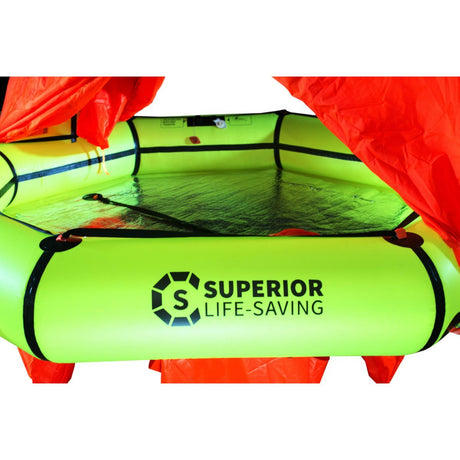
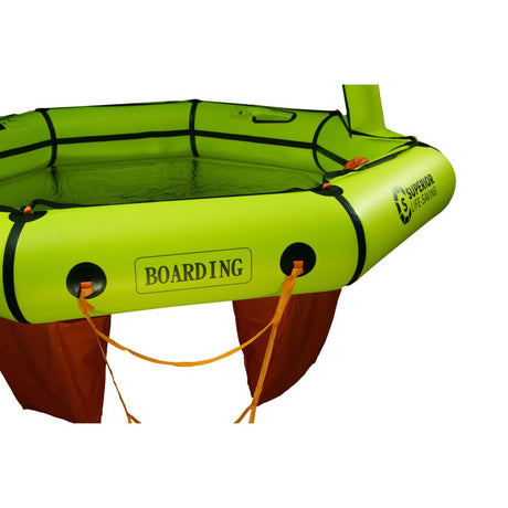
Superior HALO + Compact With Canopy Recreational Life Raft, 2-8 person
From $1,339.00$1,540.00Unit price /UnavailableLow stock (15 units) -
- Up to 15% off
Superior Life-Saving Equipment
Superior ISO Wave Racer Life Raft, 4 - 12 Person
From $1,986.99$2,305.00Unit price /Unavailable -
-
- Up to 17% off
Superior Life-Saving Equipment
Superior ISO Wave Breaker Self-Righting Life Raft, 4-12 Person
From $2,537.99$2,950.00Unit price /Unavailable -
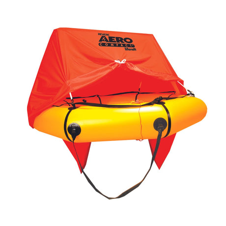
- Up to 8% off
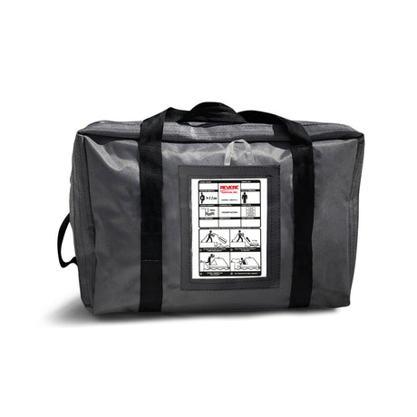
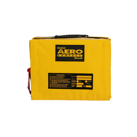
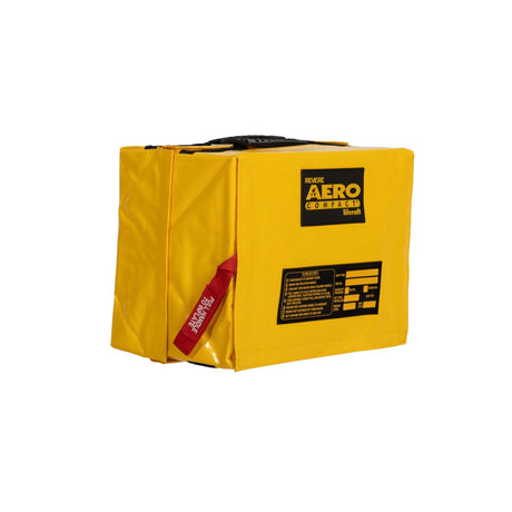
Revere
Revere Aero Compact Aviation Life Raft, 2-4 Person, Valise Bag
From $1,520.00$1,590.00Unit price /Unavailable -
 8% off